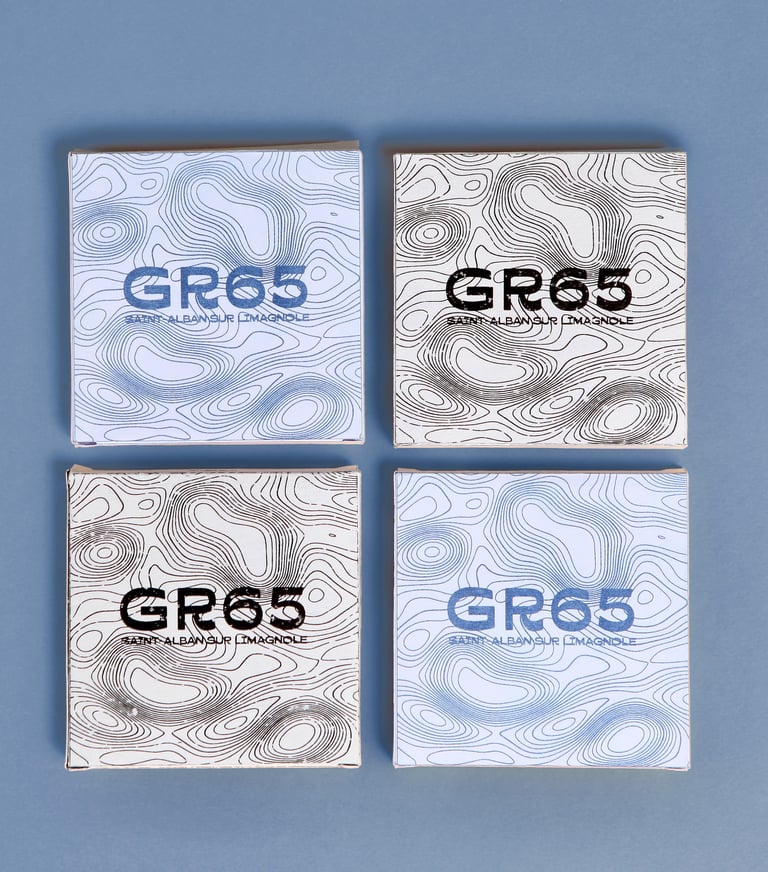
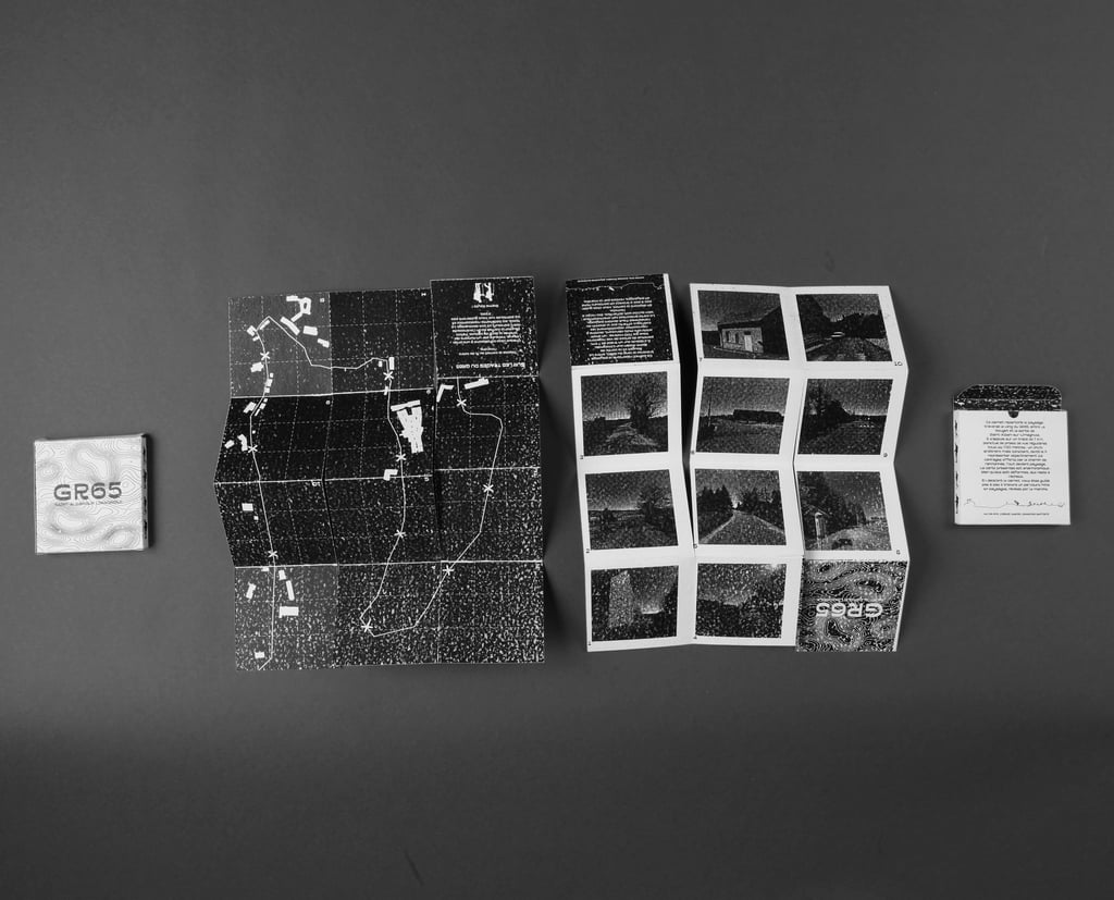
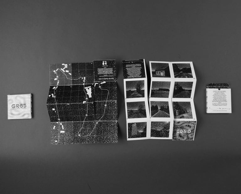
GR65_Saint-Alban-Sur-Limagnole
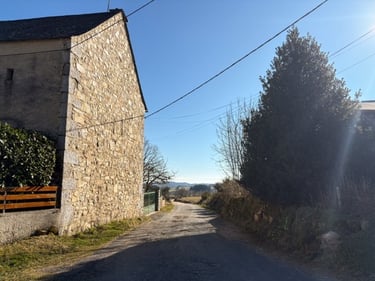
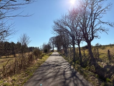
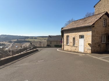
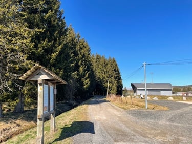
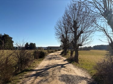
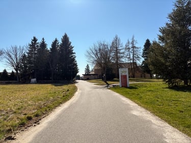
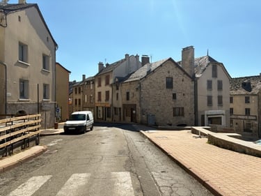
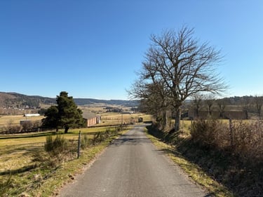
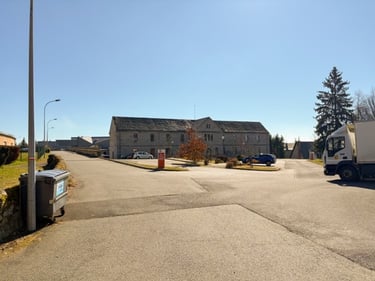
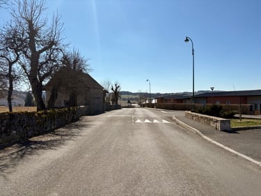
We focus here on the landscape crossed by the GR65 trail, more specifically on a 7 km stretch between Le Rouget and the campsite located on the outskirts of Saint-Alban-sur-Limagnole. The aim is to map the entirety of the landscapes encountered by capturing ten portraits of the broader landscape, at regular intervals of 700 meters. This distance, chosen arbitrarily, allows for an objective representation of the viewpoints offered along the hiking path.
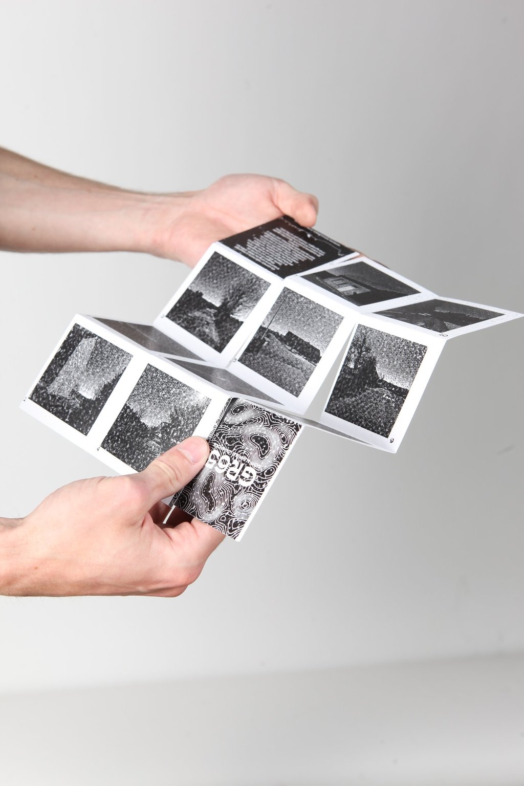
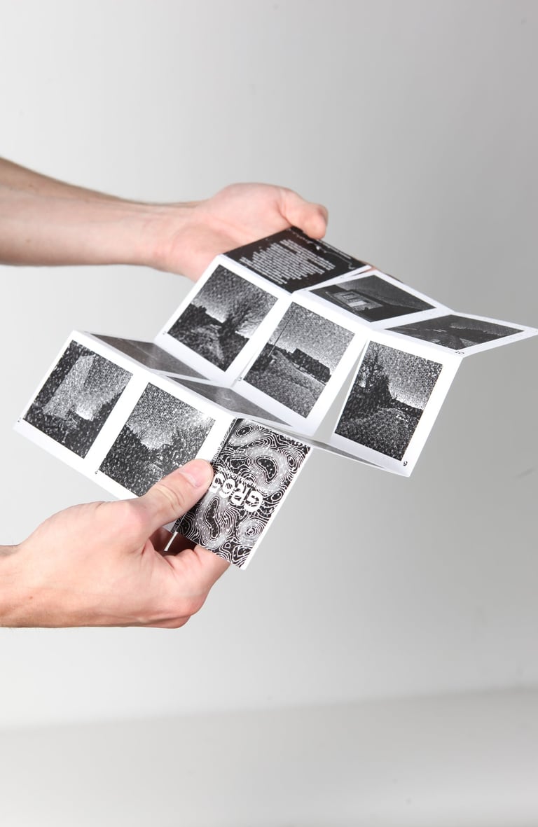
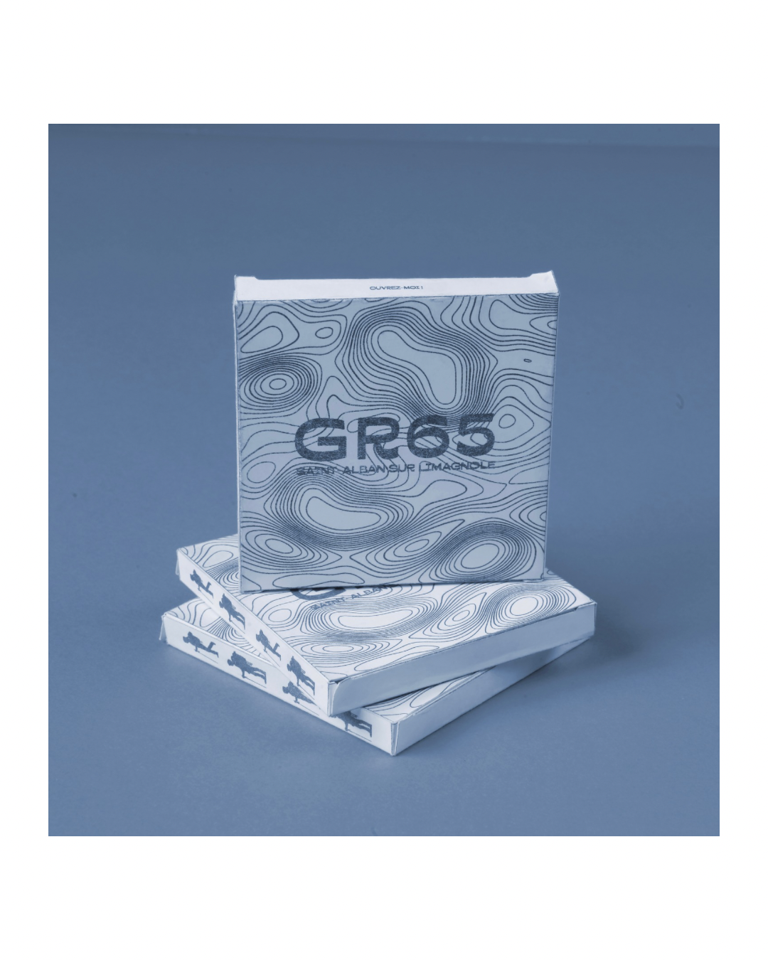
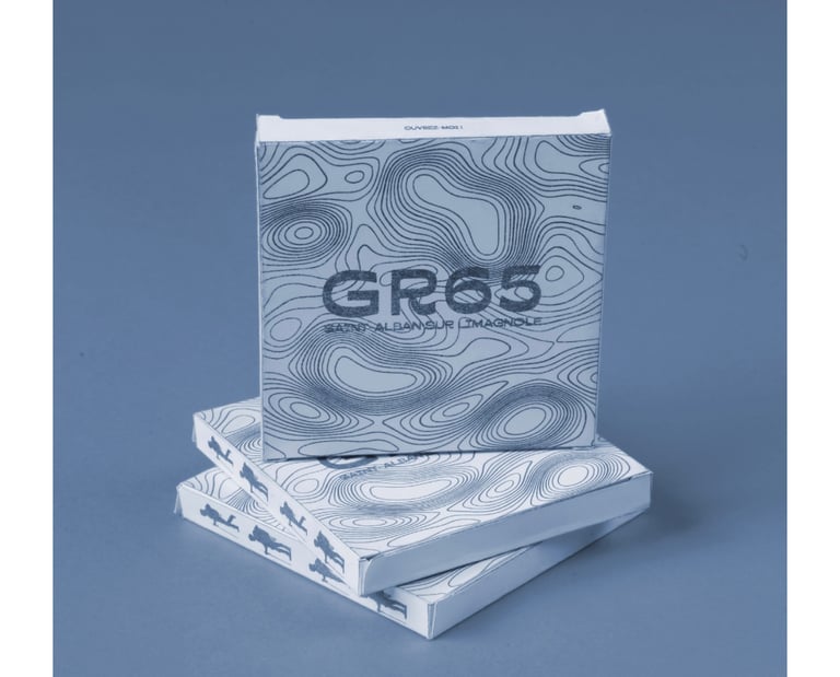
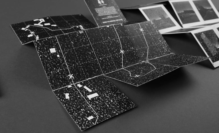
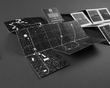
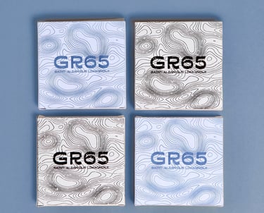
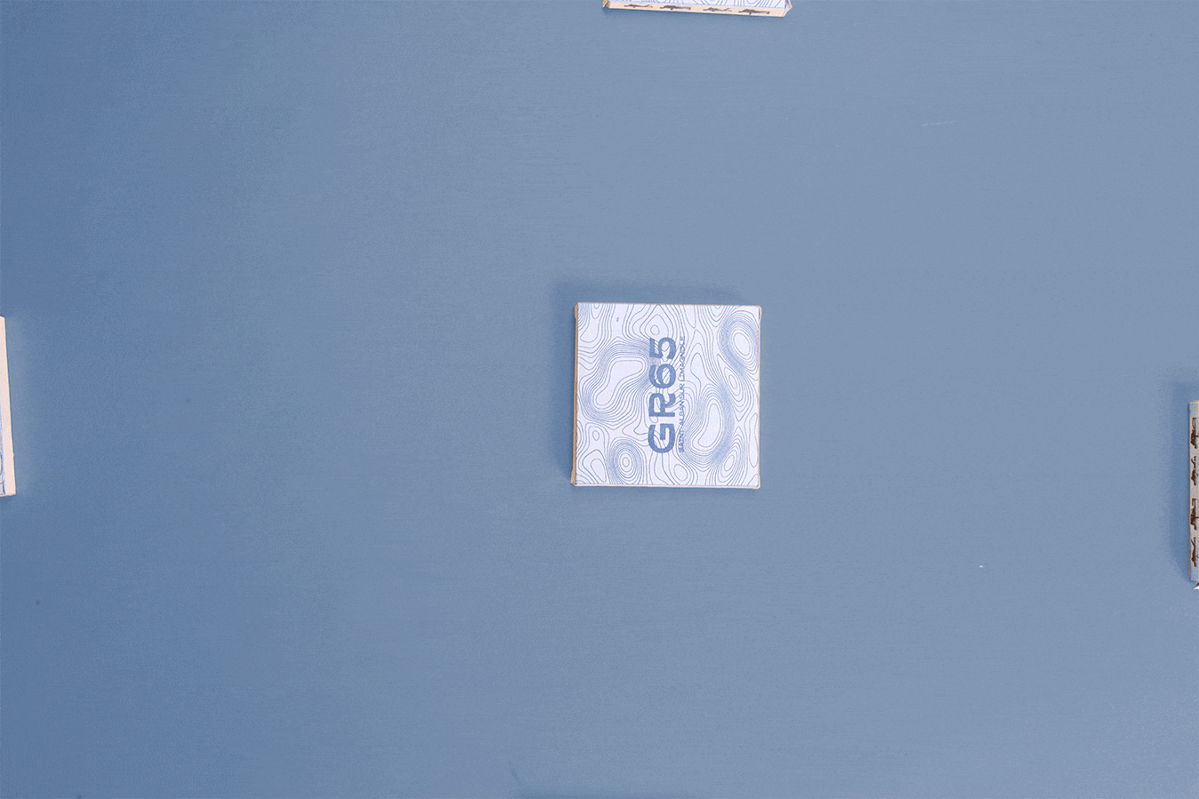
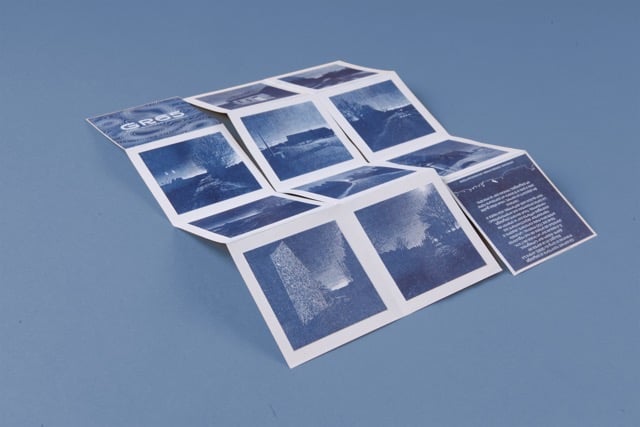
The graphic representation takes the form of a small 8 × 8 cm booklet, designed to fit into a pocket. The idea is to turn this booklet into a genuine guide for reading the landscape throughout the journey. To achieve this, we relied on the GR65 route, which we deliberately reshaped into an anamorphic map adapted to a square format, while maintaining a real scale and a cartographic spirit.
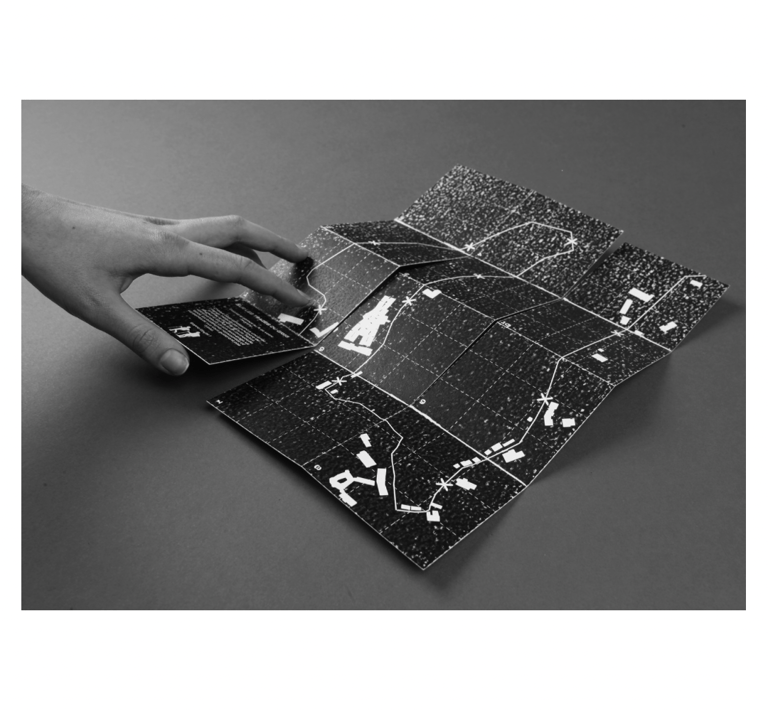
In practice, the hiker takes the map out of its case and unfolds it in rhythm with their walk. Each square corresponds to a numbered landscape, paired with a photograph printed on the back of the map. These numbers indicate both the direction of the route and the orientation of the map. As the hiker progresses, they unfold new sections while closing the ones already covered. When the trail changes direction, the map must be rotated to remain aligned with the path.
The route is punctuated by visual landmarks—buildings, viewpoints, topographical features—that guide the reading and orient the walk. Beyond its practical use, this booklet conveys a simple idea: everything is landscape. Whether observed every 700 meters or every kilometer, this device invites us to open our eyes, pay attention, and observe what surrounds us.
PROJET REALISER AVEC HATON EVE_CORGIE_DAMIEN
GR65_Saint-Alban-Sur-Limagnole